
Waking up fairly early Esther decided to g for a quick run on the dead sea shore. It was windy but sunny and the exercise felt good. Chris decided to go and have a last dip in the dead sea before departing. Hungry as we were, we were looking forward to a great breakfast selection.
To our relief the coffee machine was brewing a cappucino again, the toaster was toasting bread again and the cook at the cooking station made us fresh eggs sunny side up. Nothing had changed but the fact that it was Sunday today. Shabbat was over. Life could go on as normal. As a side note, much of the hotel staff spoke only Hebrew. With tourism still low, Ein Bokek felt geared almost entirely toward Israeli visitors.
After packing everything into our rented Dacia – our small, slightly short-of-breath, somewhat stubborn but ultimately reliable donkey – we set off on the drive to Nazareth, with a stop planned at Masada along the way.
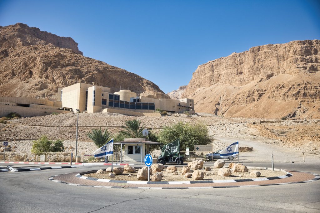
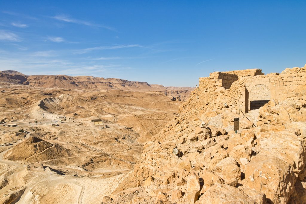
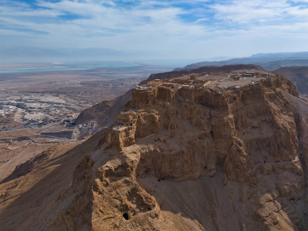
Masada is a mix between a fortress and a village on top of a very steeep and rocky mountain with a flat top. And it is a big thing in Israeli history.
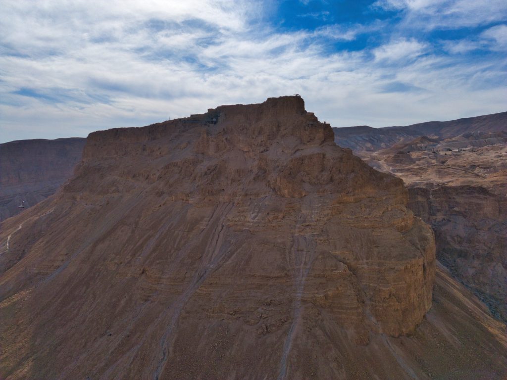
Masada consists of three palaces, several bath complexes, swimming pools, a vast number of storage rooms, and large cisterns designed to collect and store water. At its peak, it could house around 1,000 people—families, warriors, servants and livestock—along with Herod the Great and his entourage. Originally built by Herod, who ruled the region as a Roman client king, Masada was designed with Roman comfort very much in mind. Keen to impress his patrons and live according to Roman standards, Herod ensured that all the amenities expected by Roman elites—from elaborate bathhouses to sophisticated water systems—were carefully provided, even in this remote desert stronghold.
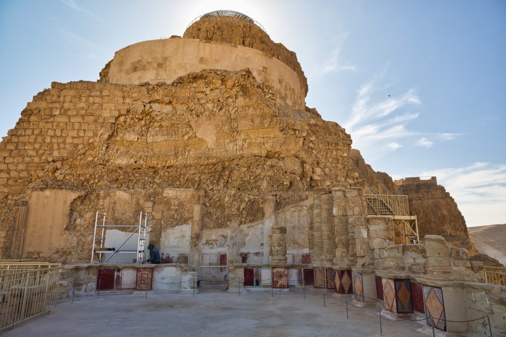
Water was either collected from rain water or brought up by donkeys and camels. There are three gates into Masada but all were only accessible by narrow, very steep and easy to defend paths.
The fortress was considered virtually impregnable, and conquering it would have taken a long time. Masada was exceptionally well equipped to withstand a prolonged siege, with ample water supplies and food stores. Long after Herod the Great’s death—when relations between Jews and Romans had completely broken down—around 1,000 Jewish rebels were living on Masada
The Roman siege of Masada was a large-scale military operation. In total, an estimated 8,000 to 10,000 Roman soldiers and support personnel were involved, vastly outnumbering the roughly 1,000 Jewish rebels holding the fortress. The Romans first isolated Masada completely, constructing a circumvallation wall about three kilometers long around the mountain, along with eight fortified camps to prevent escape and cut off supplies. When a direct assault proved impossible due to Masada’s sheer cliffs, they embarked on an extraordinary engineering effort: building a massive siege ramp of earth, sand, and stones on the western side, where the natural terrain rose closest to the summit. The construction of the ramp likely took several months, possibly six to eight, under harsh desert conditions. Once completed, the Romans hauled a wooden siege tower, equipped with a battering ram, up the ramp.
According to Jewish history—based largely on the account of the historian Flavius Josephus—on the night before the fortress was due to fall, the inhabitants of Masada chose to take their own lives rather than face enslavement or imprisonment by the Romans. Whether the events unfolded as described is questioned by historians today, but the story itself has become central to Masada’s myth.
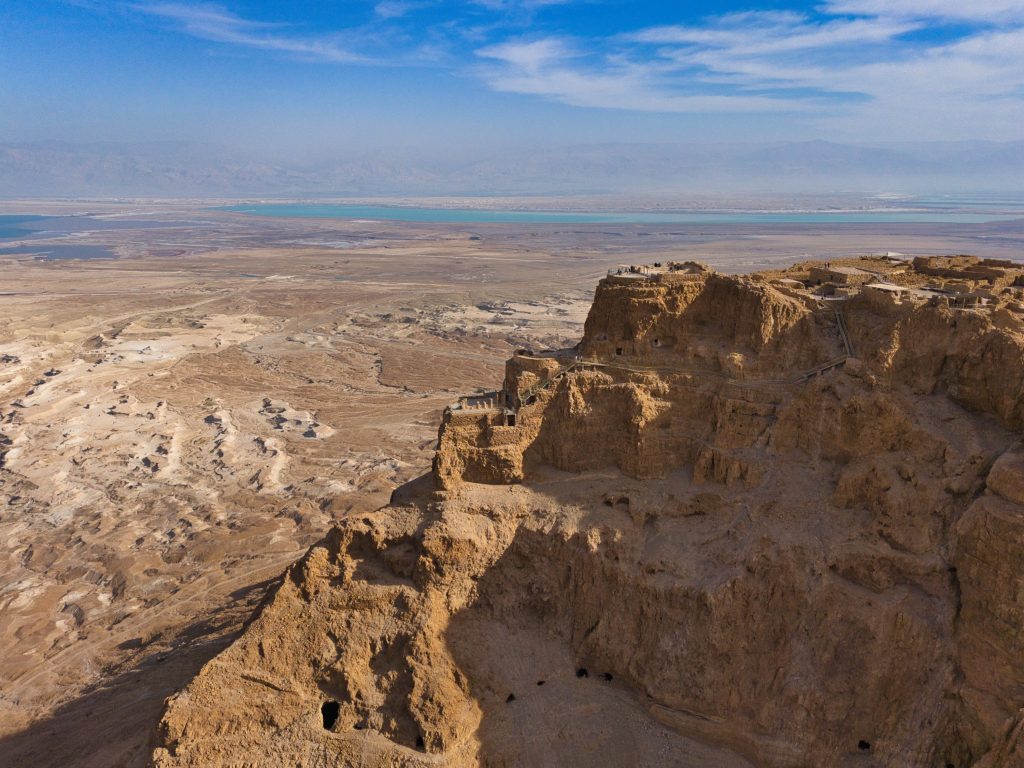
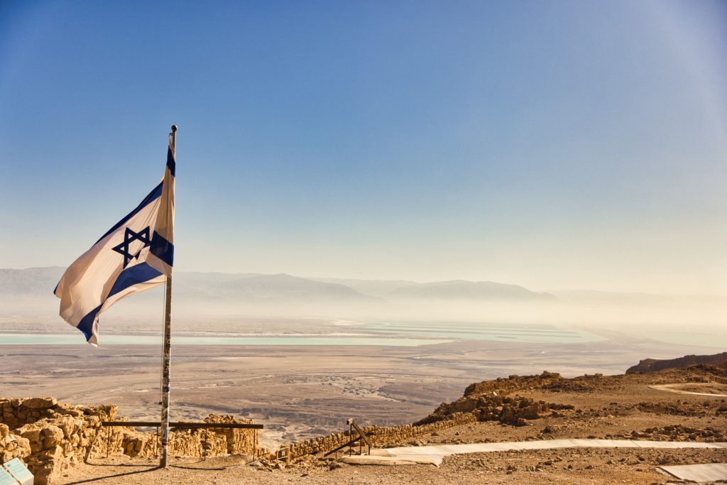
For Israel, Masada stands as a powerful symbol of resistance, determination, and defiance—values often associated with Jewish history and identity to this day. It is considered a must-see site for Israeli school classes, and for decades it has also played a significant role in the education and symbolic tradition of the military, which is why Masada is considered a must-see for schoolchildren and military recruits alike. The slogan “Masada shall not fall again” has become part of the national self-image of the 77-year-old State of Israel, symbolizing resilience, self-defence, and the determination to avoid another historical catastrophe.
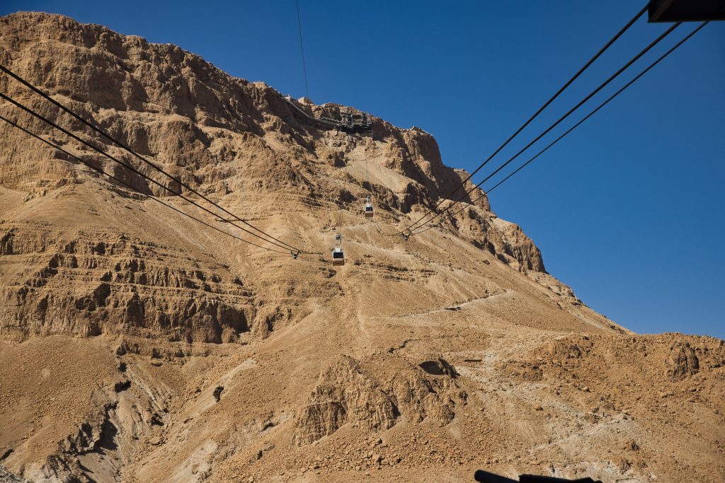
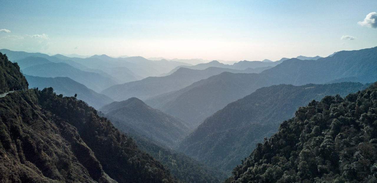
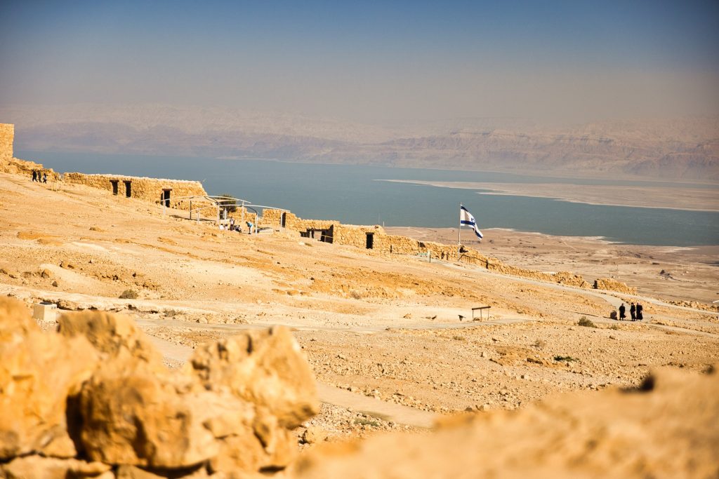
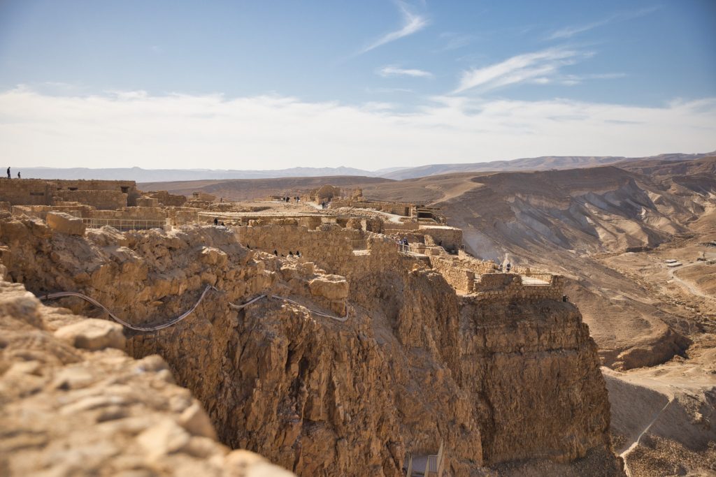
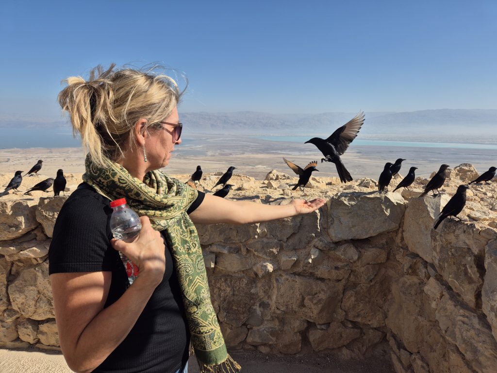
Today rather than taking a long and windy path up by foot with approc. 1,000 steps, we can take a cable car up and down for easy access. As we were on a schedule today, we did just that. And the best part was the stunning 360 degree view from the top. In all directions we could see the mountains, the Dead Sea and the Ein Gedi Oasis. We took a good 2.5 hrs to see all ruins and excavations on top and and admire the views. We did not set out for Nazareth until 2 PM with a 3.5 hr drive in front of us.
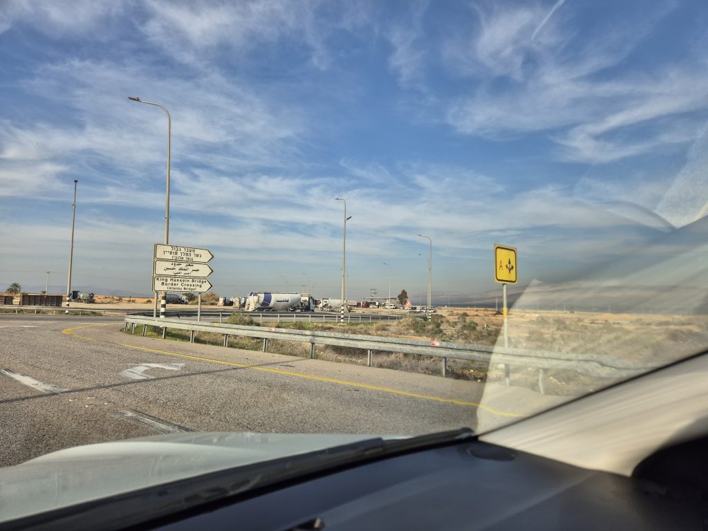
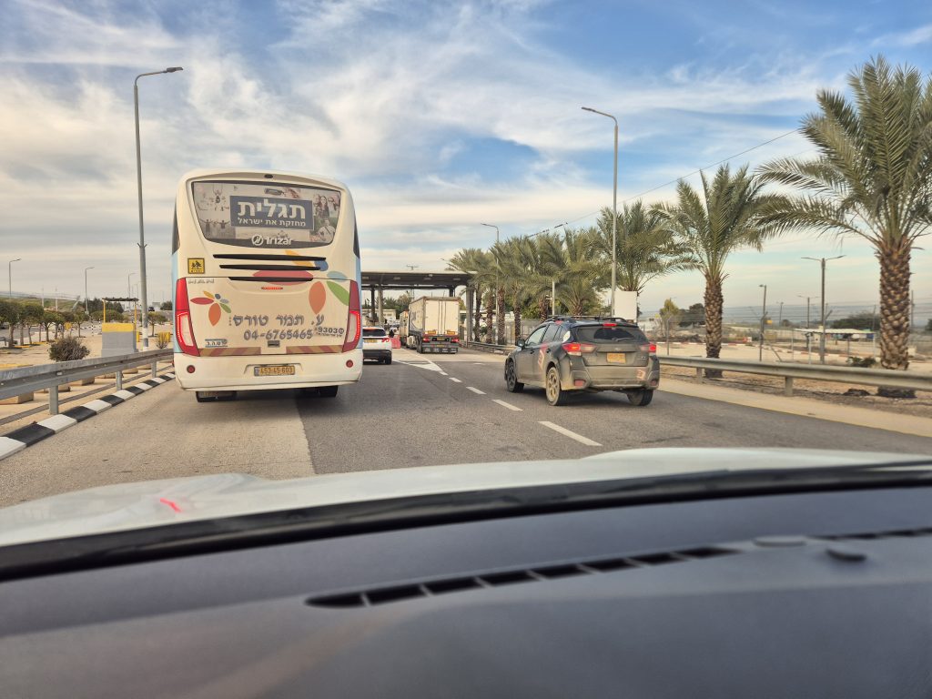
We made good mileage and eventually had to decide whether to take the long way around the West Bank to Nazareth—staying entirely on Israeli main roads, which would have added about three and a half hours—or to shave roughly thirty minutes off the journey by driving straight through the Palestinian West Bank. The road is considered Zone C – which means it is controlled by Israel and allowed for our our Rental car. That route would take us past the Jordanian border crossing at the King Hussein Bridge, and through an Israeli security checkpoint along the way.
We chose the shorter option. Once again, the drive offered a stark view of how Israeli policies and infrastructure have reshaped areas that were originally Palestinian—an observation that’s hard to avoid when traveling through the region. Under Israeli domestic law, settlements, kibbutzim, and agricultural plantations in this area are considered legal and are administered as part of Israel’s civil system. Under the Oslo Accords, however, much of this land lies in territory that was meant to remain under Palestinian jurisdiction or be subject to negotiated final-status agreements. The resulting legal and political mismatch is written directly into the landscape.
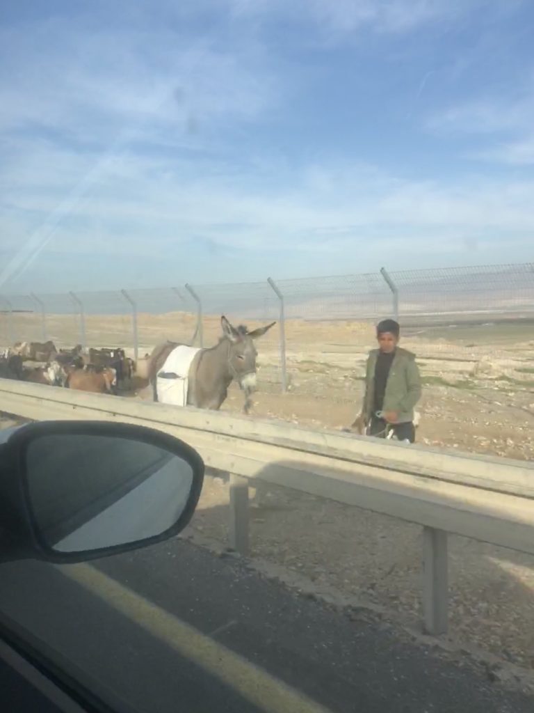
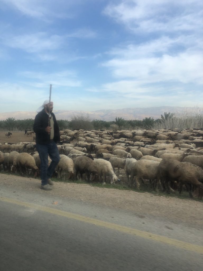
Along the road we were traveling—classified as Area C and under Israeli control—Israeli flags were visible everywhere: on fences, posts, and entry gates. In Area C, the Israeli military controls land use on both sides of the road. Palestinians are still allowed to herd sheep and goats, but the routes for grazing and movement are becoming increasingly restricted. Several times we saw large herds move with fences on one side and the road on the other with barely 10 meters in between for the animals to move.
Israeli cars with yellow plates can use most of the Area C road network, but entry into Area A is forbidden. Palestinian Authority vehicles have white plates with green lettering; crossing into Israel is tightly controlled and depends on permits. We haven’t seen one white/green plate in Israel so far.
In Area C, Israeli authorities effectively decide how the land is used—whether for agriculture, industrial zones, settlements, or as military no-go areas. Palestinians living in these areas have little to no influence over these decisions, despite the land often being adjacent to or traditionally used by Palestinian communities. Palestinians are nevertheless employed as laborers on Israeli plantations or in nearby industrial zones.
Seen on the ground, the frequently invoked two-state solution feels increasingly abstract. With so much infrastructure firmly embedded and controlled, it is hard to imagine it being handed over to a future Palestinian state. How such a hardened conflict can ever be solved peacefully we lack the imagination.
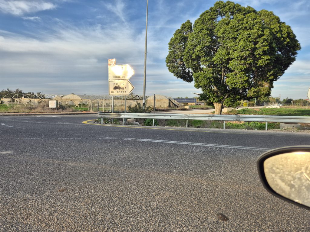
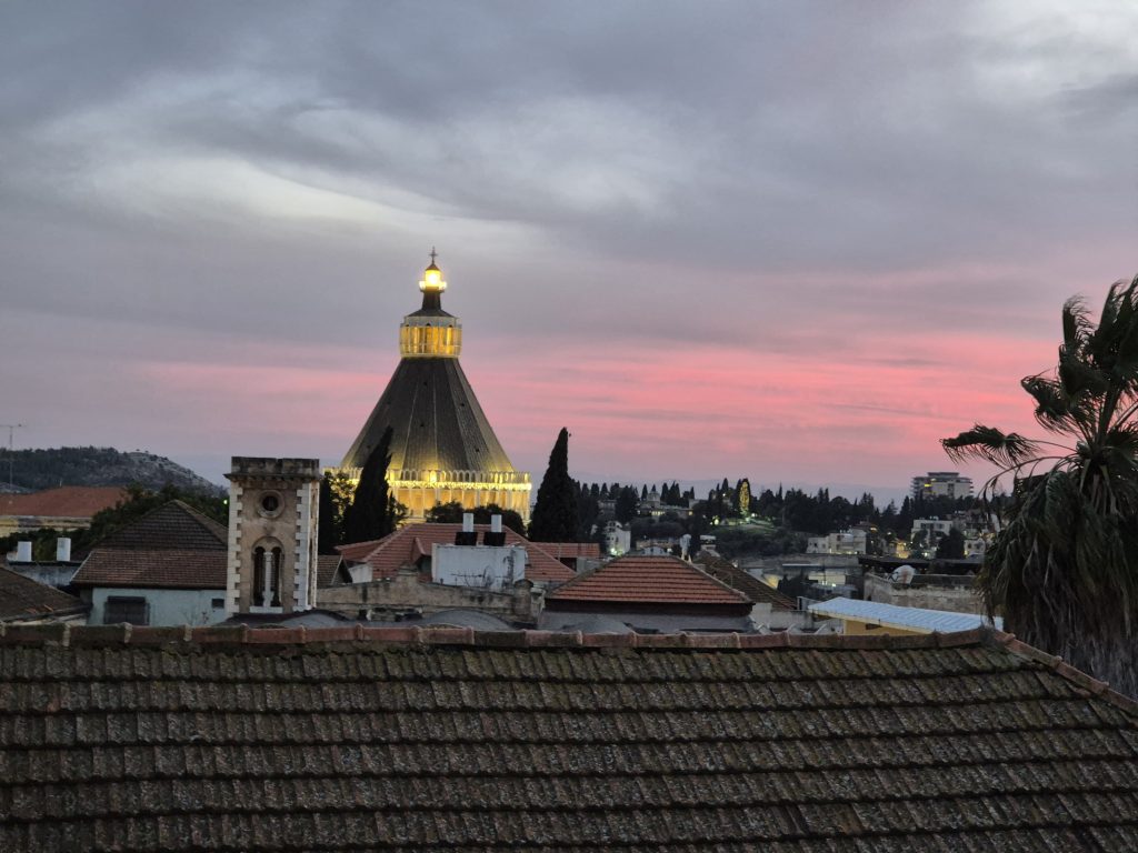
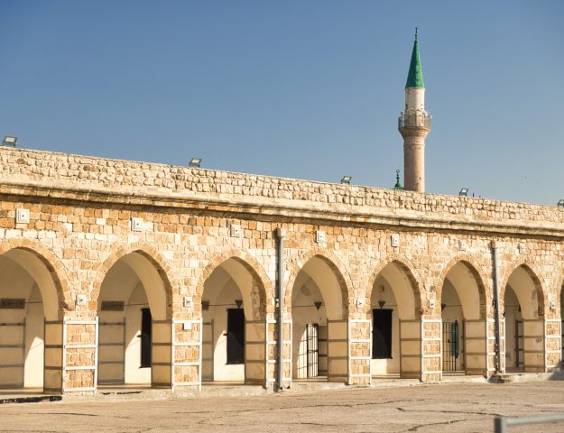
Once we passed the Israeli check point, we were back to normal Israeli territory and made our way to Nazareth without a problem. Nazareth is a majority Israeli Muslim city known for two things: The spot where Mary got the news that she’ll bear God’s son one day, in a grotto where today the church of the Annunciation stands. Hence besides Jerusalem and Bethlehem, Nazareth is a must see for many christian pilgrims visiting Israel. Secondly Nazareth is known for for excellent fusion cuisine bringing oriental and western influences in cooking together. We were happy to try that out and find a restaurant on our first night here.
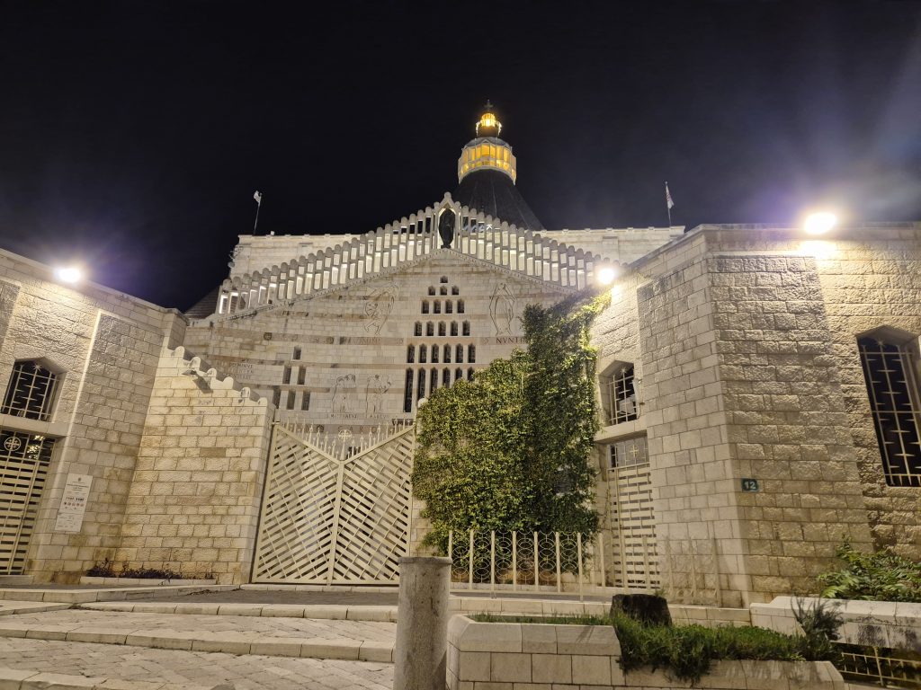
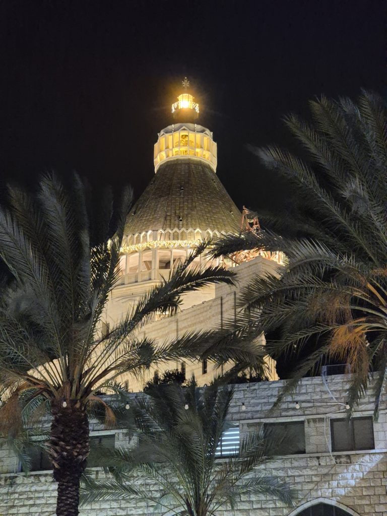
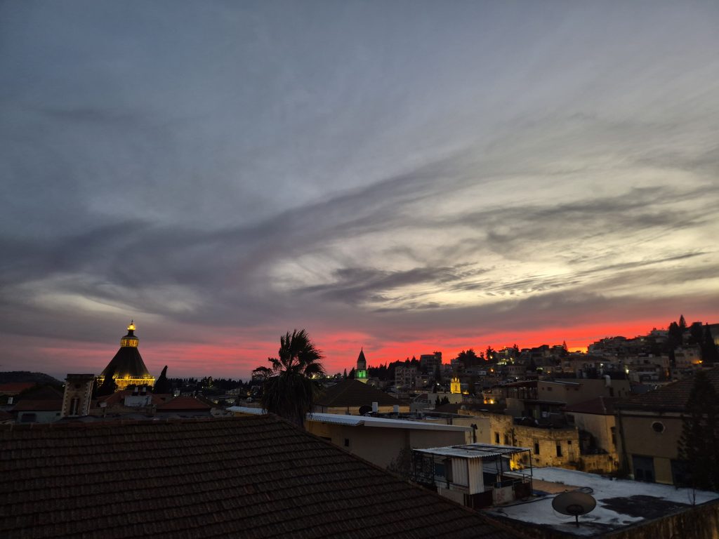
Our hotel Michel House is a nice Boutique hotel in the middle of the old town Nazareth, in walking distance to the announciation Church which we saw in a beautiful sunset from our rooftop terrace.
Hungry as we were, we followed our hosts recommendation to eat at Tishreen, a lebanese fusion Restaurant.
Best meal in Israel so far. Incredibly yummy freshly baked bread, unusual combinations of ingredients and spices, one that we felt we’ll be back to try out different dishes on the menu.
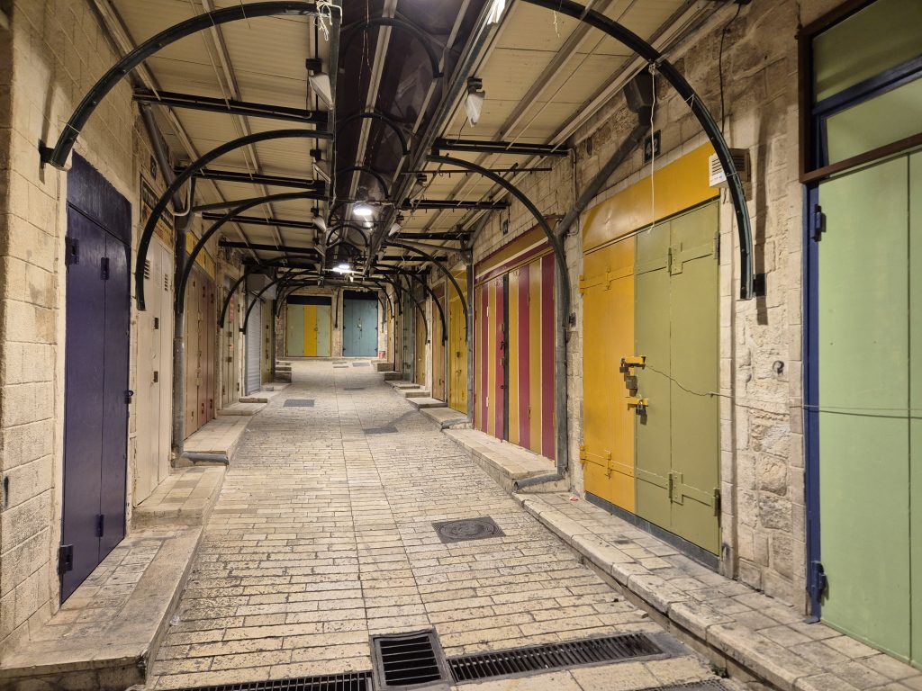
Tired but full we made our way back to the Hotel through the old city with it’s empty market streets, the occasional cat crossing our way. Tomorrow morning it’ll be buzzing with market stalls again and we are looking forward to it.
Israel mit anderen Augen gesehen👍